The property experience platform
for new developments.
Show buyers where they'll live, in a live 3D model of the real neighbourhood. See which homes they keep coming back to.
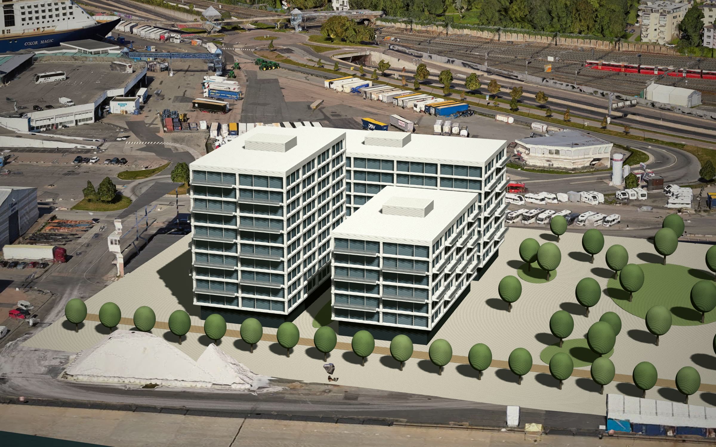
38 of 80 homes available on 8 floors, from NOK 5 600 000.
Illustration. 3D city © Google, map © Kartverket
Buyers, your sales team and the city, on one map.
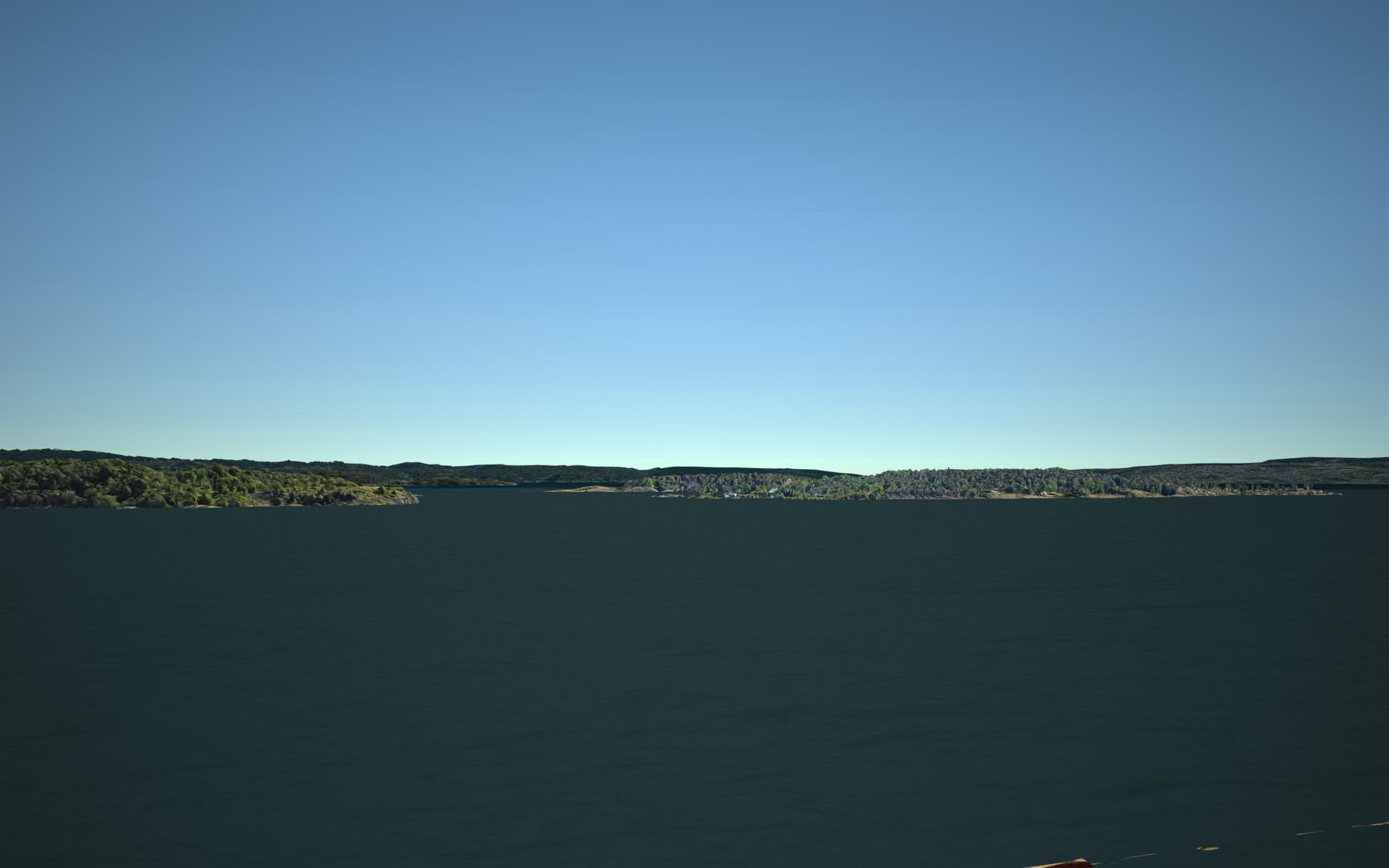 Floor 7, eye height 25.3 m
For buyers
Walk the real neighbourhood, choose a building and a floor, and look out of the window before anything is built.
For your sales team
Prices and availability that change everywhere at once, and a record of which homes each buyer looked at.
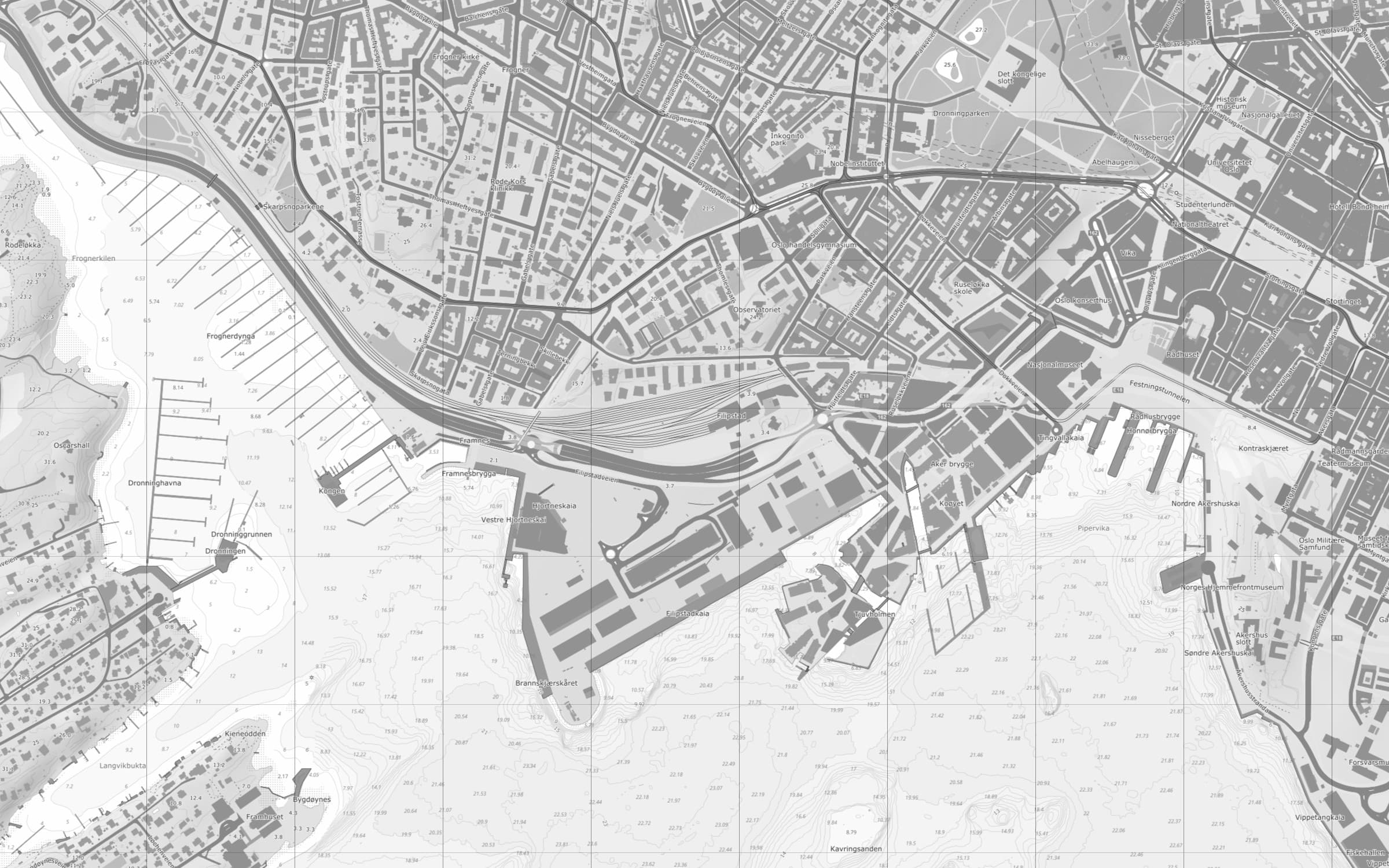
From the map up
Buildings, streets, transport, schools and daylight come from Atlas, so every project starts in its real city.
The view from any floor, before there is one.
Rendered from the floor and direction of each home, over the buildings that are actually there. Move the floor and the city drops away.
- Eye height
- 25.3 m
- Evening sun
- 6.9 h
The real view
What each window looks out at, from its floor and direction, before the first floor is poured.
Daylight through the year
Sun and shadow for any date and hour, so buyers see the evening light as well as noon.
Every home on its floor
Plans, sizes and prices sit on the building itself, so the choice is made in place.
Six minutes to the kindergarten. Thirteen to the tram.
Walking times from the front door to the schools, stops and shops that are actually there. Pick a place to see the walk.
Harbour RowFjordbyen kindergarten, 6 minKnow which homes buyers keep coming back to.
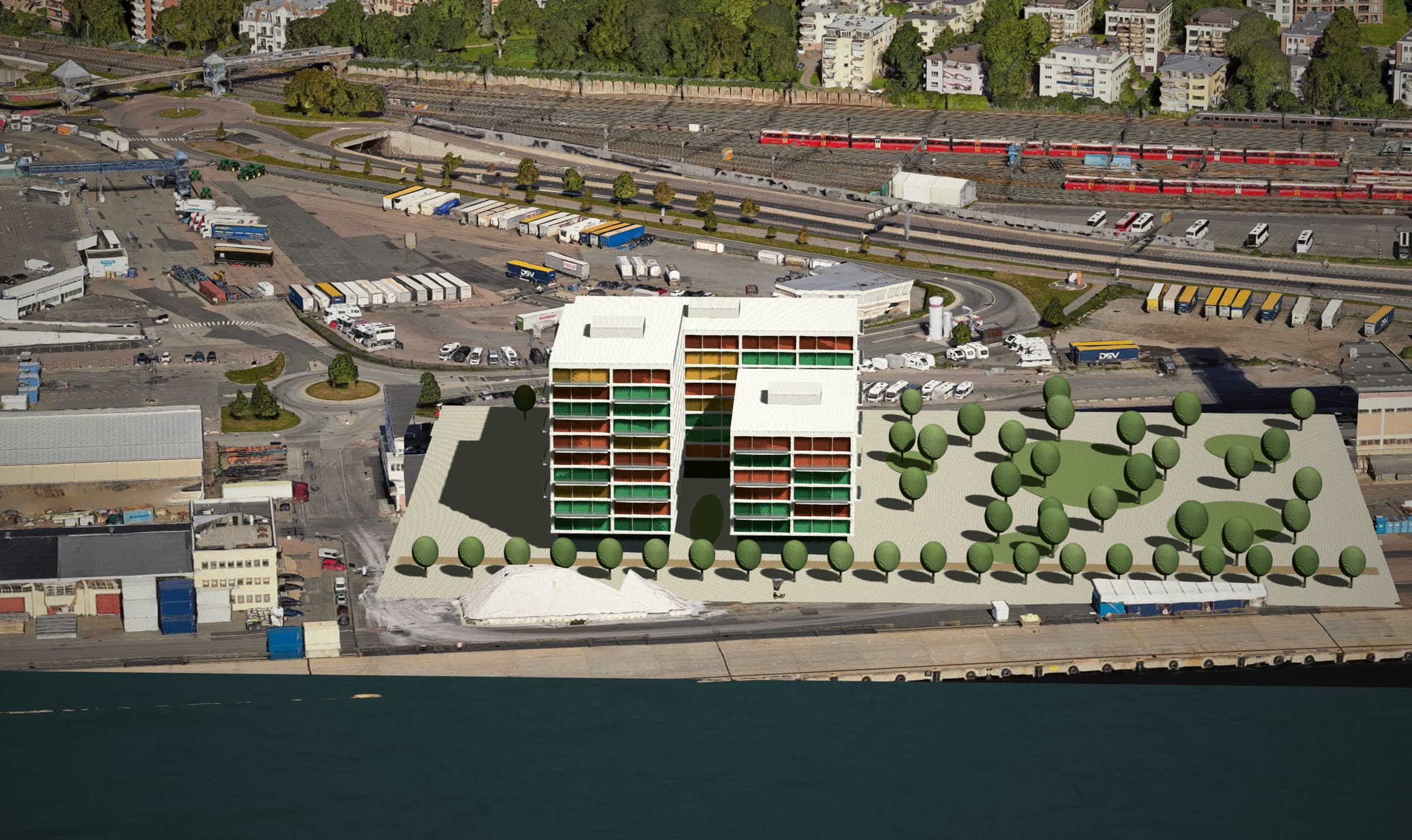
Every visit, home and enquiry in one place. Mark a home as sold and it changes on the map, on your website and in every link a broker has sent.
Live prices and availability
One change in the inventory updates the 3D model, your website and every shared link.
Every enquiry with the home attached
Your team gets the home, the floor, the price and what the buyer looked at before asking.
Interest before launch
See which floors, views and sizes draw buyers, and price the next release on it.
Towers, neighbourhoods, rentals, villas and offices.
One platform, five kinds of inventory.
 Apartments and condos
Off-plan towers and mid-rise. Stacking plans, a home picker, phased releases and broker links, with the view, the sun and the walk for every home.
Master-planned neighbourhoods. Every plot on the real site plan, with its status, phase, house type and the school run.
Lease-ups and stabilised buildings. Live availability and rents, filters for renters, and every enquiry tied to a home.
Each home on its plot, with the boundary, orientation, sun and distance to the water, plus plans and finishes.
Floors and suites on a stacking plan, with transit, parking and the neighbourhood tenants ask about.
Two ways to launch.
On your own website
One line of code puts the building, the floors and every home on the project page you already have. Your design, your domain.
At an address of its own
A full-screen experience at harbour-row.mapmylisting.com, with a page for every home, the neighbourhood and the view.
From drawings to launch.
Send us what you have
Drawings, the price list and your brand. Models from your architect if they exist.
We place it in the city
Every building, floor and home goes into the 3D city, with views, daylight and walking times.
You launch
On your own website or at its own address, with your team running prices and availability.
Made for developers who care how a project is seen. The name, the photography, the first evening a buyer spends on your website. The map should be as good as the rest.